Posted on November 6, 2026
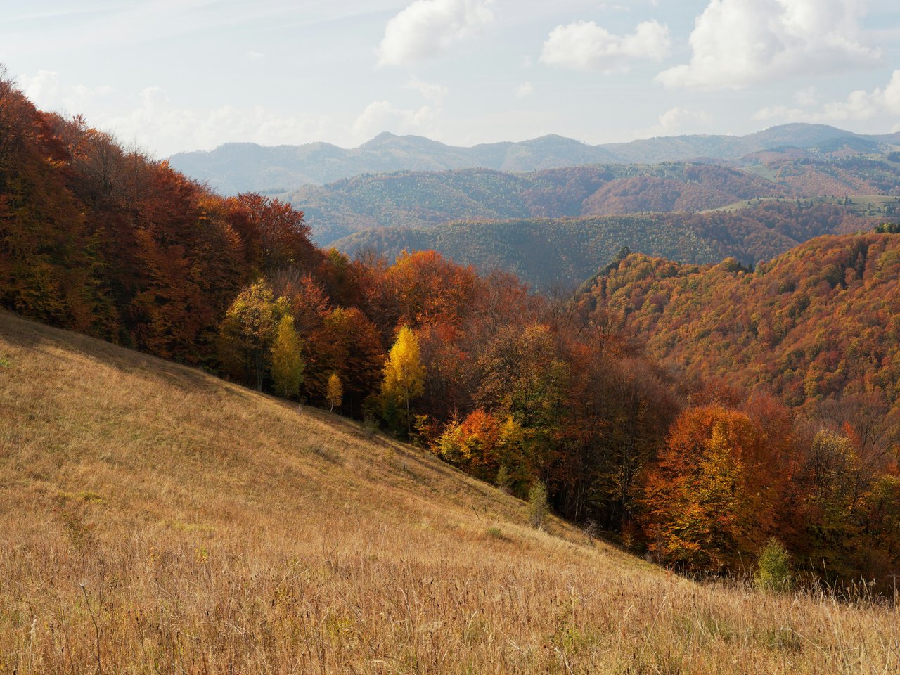
Late fall foliage in the North Georgia mountains rarely lines up as cleanly with a crisp weekend forecast as it does for November 7 and 8. For anyone living in Lumpkin or Union County—or spending the weekend exploring mountain properties and cabin retreats around Dahlonega and Suches—the Southern Appalachian ridgelines are putting on a beautiful November show.
This two-day itinerary is designed to maximize trail time across key Appalachian Trail section spots without requiring full backpacking gear. From sunrise panoramas over the Dahlonega plateau to tumbling mountain waterfalls and the southern terminus itself, here is how to navigate the trails, gaps, and gravel roads this weekend.
Saturday, November 7: Panoramic Ridges & The High Country (Suches & Neels Gap)
Saturday focuses on high-elevation views, iconic gaps along Highway 60, and reaching the highest point on the Georgia stretch of the Appalachian Trail.
7:30 AM – Sunrise at Woody Gap to Preachers Rock: Head north out of Dahlonega along GA-60 toward Suches. Pull into the paved parking area at Woody Gap just before sunrise. Pick up the white-blazed Appalachian Trail northbound across the road for a steady, 1-mile climb (2 miles round-trip) up to Preachers Rock. You will reach the wide granite outcrop right as early morning light breaks across the golden canopy of Lumpkin County.
10:00 AM – Coffee & Mountain Pass Scenery in Suches: Head two miles down the ridge into "The Valley Above the Clouds." Grab a hot drink and light breakfast at Woody’s Mountain Store or the local country stop, where hikers, motorcyclists, and locals cross paths. Take Highway 180 East through pastureland framed by red oaks and sourwood trees.
12:00 PM – Blood Mountain via Byron Reece Trailhead: Continue toward US-19/129 and park at the Byron Reece Trailhead, just below Neels Gap. Follow the blue-blazed connector trail up to the Appalachian Trail, turning right to summit Blood Mountain. The 4.3-mile round-trip trek gains substantial elevation, ending at the historic 1930s stone CCC shelter atop granite boulders at 4,461 feet.
4:00 PM – Walasi-Yi Center & Mountain Return: Descend back down to Neels Gap and step into Mountain Crossings at the Walasi-Yi Center—the legendary outfitter housed in a historic stone pavilion where the AT famously passes under a breezeway. Wrap up the day by driving down US-19 into Dahlonega for a relaxed dinner on the historic square.

Sunday, November 8: Hemlock Valleys, Waterfalls & The Southern Terminus (Three Forks)
Sunday trades exposed rocky summits for rushing trout streams, dense hardwood bottoms, and the birthplace of the Appalachian Trail.
8:00 AM – Forest Service Road 58 to Three Forks: Leave Dahlonega via Doublehead Gap Road to Forest Service Road 58. Three Forks sits deep in the valley where Noontootla, Chester, and Stover Creeks merge. The gravel road winds past quiet mountain acreage and national forest tracts, so keep speeds moderate.
8:45 AM – Long Creek Falls Morning Stroll: From the Three Forks crossing, follow the Appalachian Trail and Benton MacKaye Trail north alongside Long Creek. This gentle 2-mile round-trip hike leads through thick mountain laurel and rhododendron groves to the base of Long Creek Falls, a 50-foot cascading waterfall that stays cool and shaded even on sunny mornings.
11:00 AM – Springer Mountain Ascent: Head back to your vehicle and drive south along Forest Service Road 42 to the Springer Mountain trailhead parking area. From the parking lot, hike 0.9 miles north on the AT to reach the official southern terminus of the 2,190-mile footpath. Sign your name in the bronze plaque trail register, sit atop the open summit ledges, and take in the multi-layered mountain ridges stretching into the Cohutta Wilderness.
2:30 PM – Scenic Backroad Return via Cooper Gap & Camp Frank D. Merrill: Return along Forest Service Road 42 east across Gooch Gap and Cooper Gap, descending back toward Camp Merrill and Dahlonega. The forest service roads provide elevated, unobstructed autumn foliage views without the weekend highway traffic.
Crucial Notes for the Weekend Trek
Planning ahead keeps mountain weekend hikes smooth and safe:
Arrive at Trailheads Before 8:30 AM: Both Woody Gap and Byron Reece fill early on brisk autumn weekends. Parking in undesignated spots along state highways risks ticketing or towing.
Prep for Ridge Wind: While afternoon valley temperatures will touch the mid-60s, exposed gaps and summits like Preachers Rock and Blood Mountain routinely see 15-knot winds and temperatures 10 to 12 degrees cooler. Keep a windbreaker and fleece layer in your daypack.
Download Routes in Advance: Cellular service drops out almost immediately once you pass Camp Wahsega or climb above Yahoola on GA-60. Save your maps offline on AllTrails or Gaia GPS before heading into the backcountry.
Tread Lightly on Gravel Forest Service Roads: FS-58 and FS-42 are maintained dirt and gravel roads. While high-clearance four-wheel-drive vehicles are not strictly required in dry weather, washboard ridges and loose gravel mean taking turns slowly.
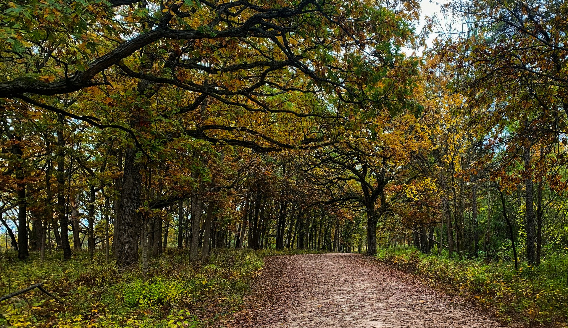
Spending time along the ridges of Suches and the hemlock valleys outside Dahlonega offers a real sense of what daily life in North Georgia feels like. The proximity of the trails means you never have to plan a grand expedition just to find wilderness; a pair of trail shoes, a thermos of coffee, and twenty minutes on a scenic mountain highway put the entire Southern Appalachian range right at your feet.